The AK GT introduces itself
The AK GT has the task of maintaining nationwide uniformity in data collection, continuation, documentation and presentation of the landscape-describing, topographical geospational reference data on the earth's surface.
Our tasks at a glance
Geotopographic information acquisition
- Use of digital image flight and remote sensing techniques
- Evaluation and image processing techniques for recording topographical changes
Official topographic-cartographic information system
- Further development of ATKIS with its components digital landscape and terrain models
- Digital topographic maps and digital orthophotos as part of the AdV's overall concept for modeling the geoinformation of official surveying and mapping
Topographical national maps
- Publishing principles
- Scale ranges
- Graphics and design for topographic base and follow-up maps
- joint civil-military maps
- topographical area and special maps
- Principles and procedures for archiving discontinued topographical maps (historical maps)
Metadata information system
- Uniform specifications for the data from ATKIS and the grid data from the topographical Laender maps
Fees and terms of use
- Exchange of information about the development of the legal basis (copyright, competition law, EU law, etc.) and participation in the development of technical basis for action
- Participation in the development of uniform fee regulations and terms of use for basic topographical data and topographical Laender maps
Contact the head of the AK GT
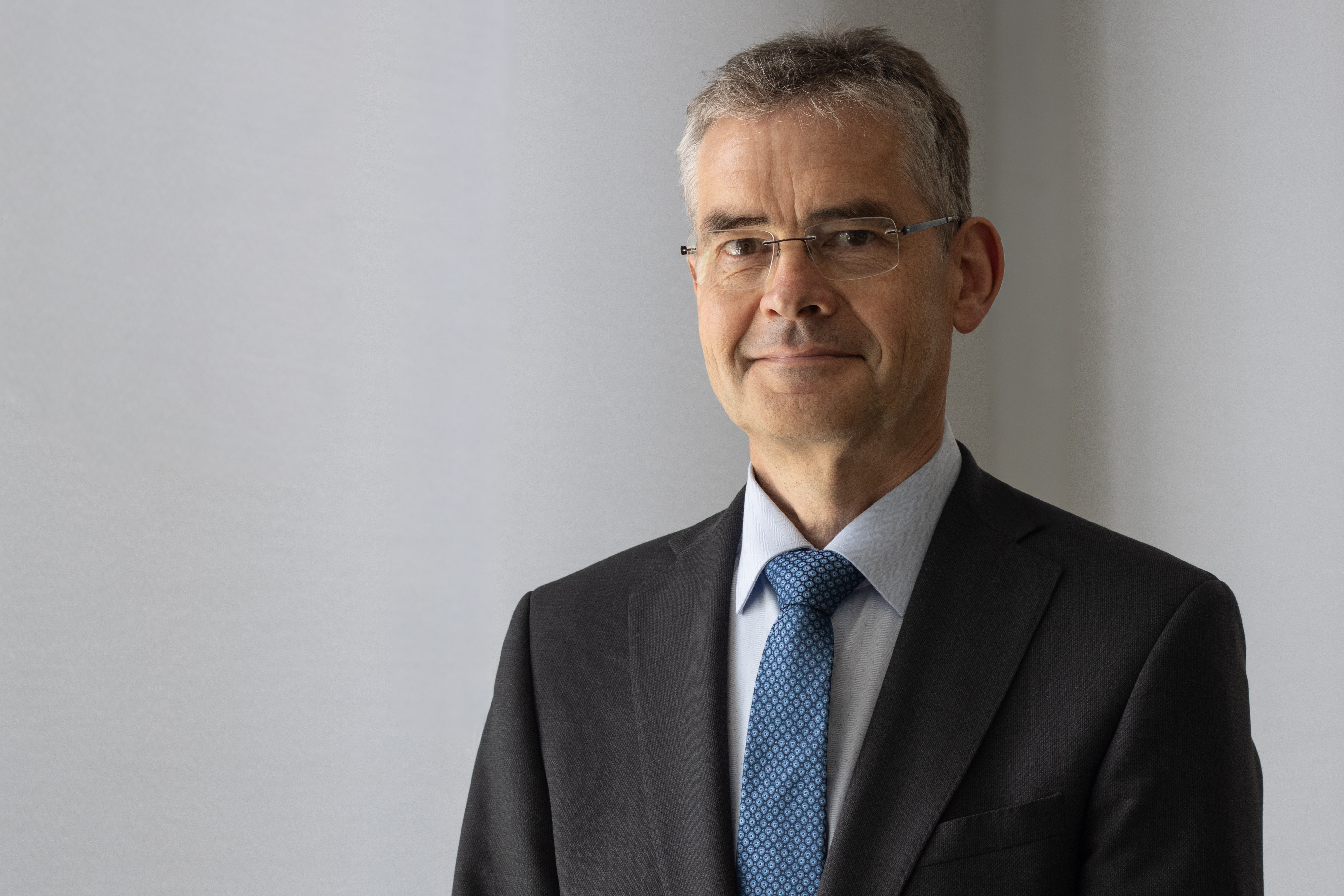
Steffen Patzschke has represented the Land of Saxony-Anhalt in the geotopography working committee since 2011. As of July 1, 2019, Mr. Patzschke took over the head of the AK GT of Working Committee of the Surveying Authorities of the Laender of the Federal Republic of Germany.
Steffen Patzschke
Ministry of Infrastructure and Digital Affairs of the Land of Saxony-Anhalt
Department 4 - The Digital Society and Geoinformation
Adresse:
Turmschanzenstraße 30
39114 Magdeburg
Germany
-
E-Mail: ak-gt-mid@sachsen-anhalt.de