


Digital Terrain Model 25 (DGM25)
The Digital Terrain Model 25 (DGM25) describes the landforms of the Earth’s surface using a number of points georeferenced by position and height arranged in a regular grid.
For this middle resolution model, the grid width is 25 m.
The height precision of the grid points and/or structure data depends on the terrain type: +/- 1,25 m to 5 m.
You can find further meta information in the Geoportal.de.
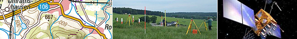
DGM25 illustration as shading produced by Rhineland Palatinate State Authority for Surveying and Geospatial Reference Data Information
DGM-area: Mittelrhein (Loreley)