
Aerial Photographs
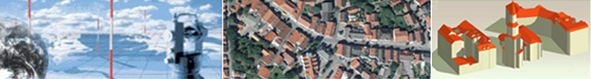
Digital orthophotos (DOP) are managed in ATKIS® according to a nationally standardised standard. DOPs are based on photographs, raster-oriented, geocoded, provide precise positioning, are not generalised, are complete and provide a view with respect to their use. DOPs are available with the ground resolutions of 20 cm (DOP20) and 40 cm (DOP40), in some Bundesländer also with the ground resolution of 10 cm.
 |
 |
| ATKIS®-DOP20 | ATKIS®-DOP40 |
 |
| DOP with the ground resolution of 10 cm |
The product specifications for DOP are specified in the product standard for digital orthophotos. The product standard is provided as a no-charge download, that is available only in german (Standards der Geotopographie).
You can find further meta information in the Geoportal.de.