


Digital Topographic Map 1:250 000 (DTK250)
The Digital Topographic Map 1:250 000 is the DTK250 derived from the DLM250 and a corresponding digital terrain modell (DTK) computer supported in the ATKIS® map graphics and produced in raster format.
Rules, according to which the individual DLM250-object types and/or the combination of several DLM250-object types (e.g. complex objects) and DTK contents are portrayed, derivation rules for forming presentation objects and a description of all occurring map portrayals are specified in the portrayals catalogue for the DTK250 (ATKIS®-SK250).
The ATKIS®-SK250 is an integral part of the ATKIS® documentation and is provided as a no-charge download in the Documentation for the Modelling Geoinformation of Official Surveying and Mapping (GeoInfoDok). Except the main document, this documentation is not available in english.
You can find further meta information in the Geoportal.de.
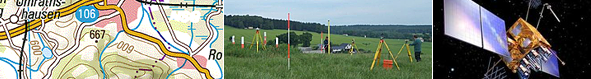
Map sample DTK250