
Tasks of the Working Group Geo-Topography (AK GT)
The task of the geotopography working group is to maintain standardisation in the recording, documentation and presentation of the topographical reference data which describes the Earth's surface. Thereby, the following subjects must be worked on.
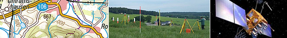
- Acquisition of geotopographic information
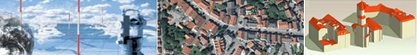
Use of digital aerial photography and remote sensing technologies, evaluation and image processing technologies for recording topographical changes - Official Topographic-Cartographic Information System
Further development of ATKIS® with its components digital landscape and terrain models, digital topographic maps and digital orthophotos in the framework of the overall concept of the AdV for modelling the geoinformation of the official German surveying and mapping - Topographic State Maps
Publication principles, scale ranges, graphics and packaging for topographic basic and subsequent maps, joint civil-military maps, topographic territory and special maps; Principles and method for the archiving and maintenance of discontinued topographic state maps (historical maps) - Metadata Information Systems
Standardised specifications for the data from ATKIS® and the raster data of the topographic state maps - Fees and Usage Conditions
Exchange of information about the development of the legal basics (copyright, competition law, EU law etc) and development of proposals for field-specific basic actions;
Development of proposals for standardised design of fees and usage conditions for topographic reference data and topographic maps