


Authorative Topographic-Cartographic Information System (ATKIS®)
ATKIS® – What is it?
ATKIS® stands for Authorative Topographic-Cartographic Information System.
The surveying authorities of the Federal States of the Federal Republic of Germany have the legal duty to record the topography of the State territory in a timely manner and to document and present this according to standardised principles.
ATKIS® – What is its purpose?
With ATKIS®, a nationally standardised AdV project, the topography of the Federal Republic of Germany is described in a geotopographic database and provided in the form of usage-oriented digital Earth surface models. Thus ATKIS® is the public law database for computer-supported digital processing technologies and the geotopographic spatial reference basis for connection and linking with geothematic technical data.
The data networking of AFIS®, ALKIS® and ATKIS® creates a geographic reference information system that constitutes a significant component of the Spatial Data Infrastructure Germany (GDI-DE).
Available to the users is a standardised basic data stock that has been stipulated as the minimum contents at a cross-Land level; the Laender additionally maintain further data depending on regional peculiarities and requirements. The yearly updated product sheets provide information.
ATKIS® – What belongs to it?
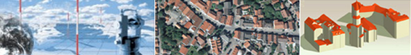
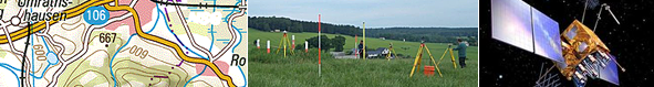
In the context of ATKIS®, the following are provided as digital Earth surface models:
-
Digital landscape models
- Digital basis landscape model (Basis DLM)
- Digital landscape model 50 (DLM50)
- Digital landscape model 250 (DLM250)
- Digital landscape model 1000 (DLM1000)
-
Digital terrain models
- Digital terrain model 1 (DGM1)
- Digital terrain model 2 (DGM2)
- Digital terrain model 5 (DGM5)
- Digital terrain model 10 (DGM10)
- Digital terrain model 25 (DGM25)
- Digital terrain model 50 (DGM50)
- Digital terrain model 200 (DGM200)
- Digital terrain model 1000 (DGM1000)
-
Digital topographic maps
- Digital topographic map 1:10 000 (DTK10)
- Digital topographic map 1:25 000 (DTK25)
- Digital topographic map 1:50 000 (DTK50)
- Digital topographic map 1:100 000 (DTK100)
- Digital topographic map 1:250 000 (DTK250)
- Digital topographic map 1:1 000 000 (DTK1000)
-
Digital orthophotos
- Digital orthophotos ground resolution 20 cm (DOP20)
- Digital orthophotos ground resolution 40 cm (DOP40)